


La Tour du Meix

grasgilbert
User
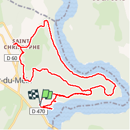

Length
13.3 km

Max alt
577 m

Uphill gradient
338 m
Km-Effort
17.8 km

Min alt
428 m

Downhill gradient
346 m
Boucle
Yes
Creation date :
2019-07-11 12:20:55.028
Updated on :
2019-07-11 16:18:38.106
3h54
Difficulty : Medium

FREE GPS app for hiking
 SityTrail
IGN / Geographical institutes
SityTrail Plus
The world is yours!
About
Trail Walking of 13.3 km to be discovered at Bourgogne-Franche-Comté, Jura, La Tour-du-Meix. This trail is proposed by grasgilbert.
Description
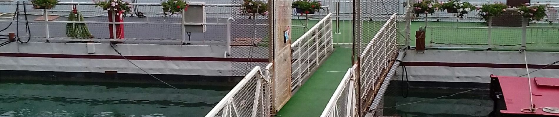
Pont de la Pile Le Surchauffant
Photos

Positioning
Country:
France
Region :
Bourgogne-Franche-Comté
Department/Province :
Jura
Municipality :
La Tour-du-Meix
Location:
Unknown
Start:(Dec)
Start:(UTM)
704883 ; 5155404 (31T) N.
Comments